
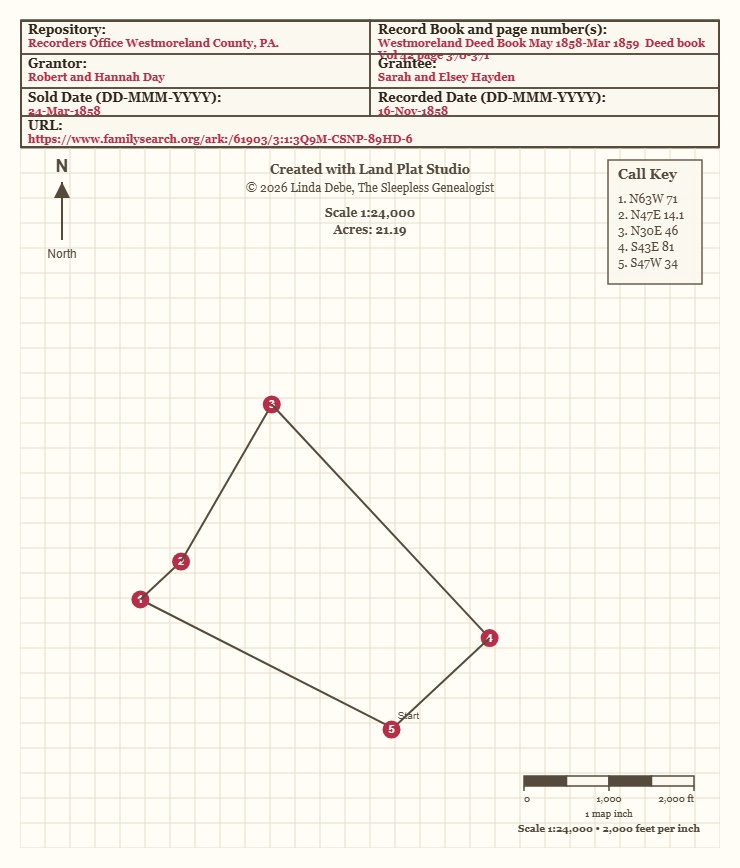
This is a program I wrote with the help of AI, that will show you how the land is drawn. The program will give you the availability to download a JPG or a PNG file, that includes everything seen on the screen.
I would appreciate any constructive feedback you have on this tool.
Future Updates:
Have the direction of North to be able to rotate.
Include the descriptions for each point.
Disclaimer
The tools, resources, materials, and information provided are intended for educational and informational purposes only. They are provided “as is” and are not intended to replace professional, legal, financial, technical, genealogical, or other expert advice.
While reasonable efforts are made to provide accurate and useful information, no guarantee is made regarding the completeness, accuracy, reliability, suitability, or availability of any tool, result, interpretation, or information provided. Users are responsible for independently verifying all information and determining whether any tool or resource is appropriate for their individual needs.
By using these tools and resources, the user accepts full responsibility for any actions taken, decisions made, or conclusions reached based on their use. No claims, demands, damages, losses, liabilities, or legal actions may be brought against the creator, owner, author, or provider of these tools and materials arising from their use, misuse, interpretation, or inability to use them.
Use of these tools constitutes acceptance of this disclaimer.